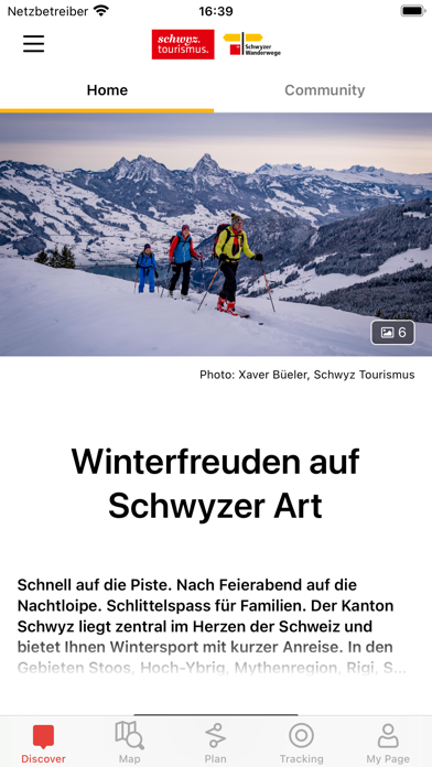
The comprehensive outdoor experience app for the canton of Schwyz. The optimal route planning from home or as a guide on site.
Great nature experiences in the Swiss mountain and lake landscape of Central Switzerland. Impressive natural landscapes, cultural sights and delights for the soul, body and palate await you. With the Outdoor Schwyz App, you have all the information you need in your pocket.
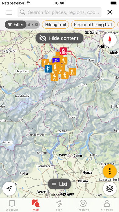
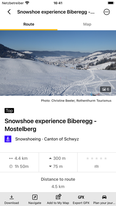
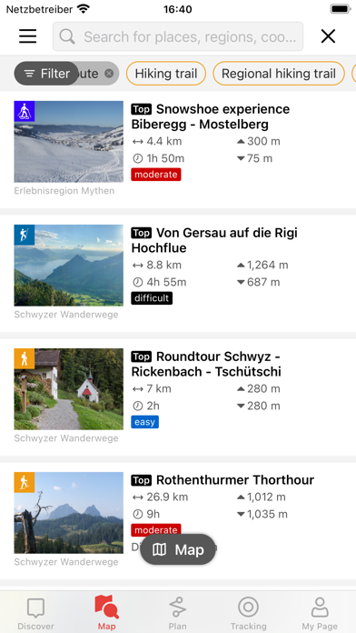
The Outdoor Schwyz App contains the wide variety of summer and winter exercise and leisure opportunities in Canton Schwyz. In addition to the current network of hiking trails, there are bike and cycle routes as well as water sports offers and in winter all the routes and possibilities from winter hiking to snowshoeing, sledding and cross-country skiing. A large number of different tour suggestions, which are editorially described and provided with topographical map, elevation profile, tour data, pictures and GPX tracks, are available for mobile retrieval.
In addition to the popular Swisstopo map, other basic maps such as the Outdooractive map can be used. This map can be stored locally on the device for offline use with just a few clicks. This is essential in areas with weak network coverage and with limited data volume.
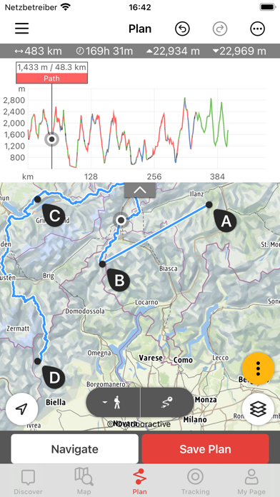
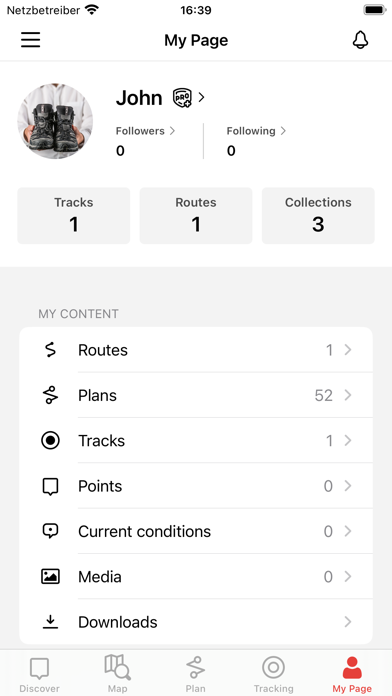
In the tour planner, you can simply enter start and destination points and the system will suggest appropriate routes. Information about route length, altitude difference, trail characteristics and trail time calculation help to plan the tour optimally. Or you can record your individually hiked tour via GPS - including geo-referenced photos, detailed statistics, speedometer, live altitude profile and much more.
Thanks to the app, you can easily find locations of mountain railroads, public transport stops, restaurants and accommodation facilities. Viewpoints, fireplaces, playgrounds, places of interest, leisure facilities plus the ATMs and even the branches and cash dispensers of the Schwyzer Kantonalbank are listed.
Important note: When using the app in the background with activated GPS reception, the battery life can be drastically reduced.