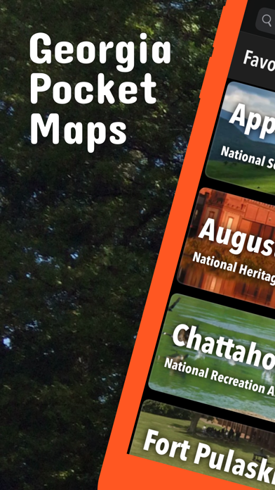
Be prepared! Plan your next trip to one of the great Georgia parks. Download maps and guides before you venture into the Wi-Fi free wilderness.
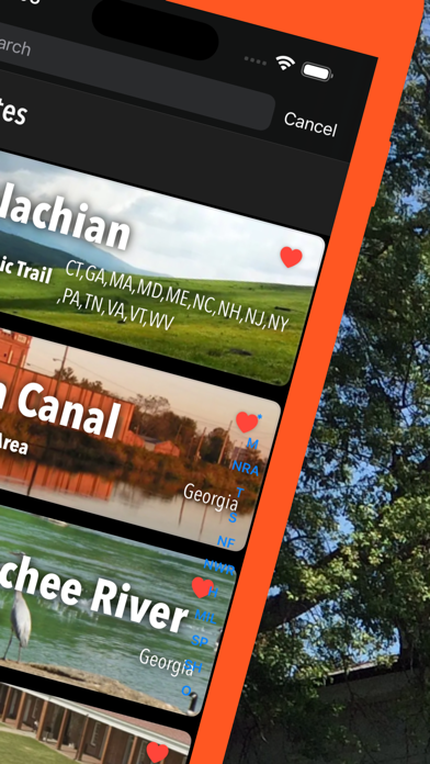
- 50+ national parks, state parks, monuments, forests
- 80+ neatly folded maps by the National Park Service, Bureau of Land Management, United States Forest Services, and other agencies.
- 130+ campgrounds and campsites
- 400+ trails and trailheads
- 63.000+ points of interests
Plan
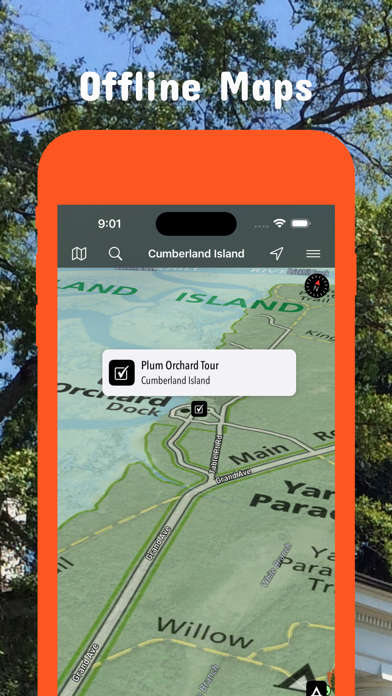
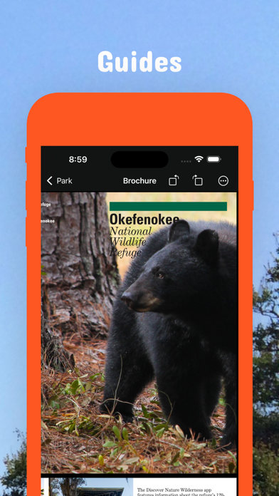
- Download maps, park brochures, and newspapers. These downloads are ready when you are offline and off the grid in the great outdoors.
- Download arbitrary map sections as offline packs.
- Photo galleries, panorama views.
- Share links to parks and maps with friends
Have fun
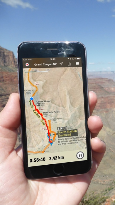
- GPS and GPX support: record your hikes, import GPX routes, tracks and waypoints for your hiking trails.
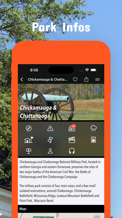
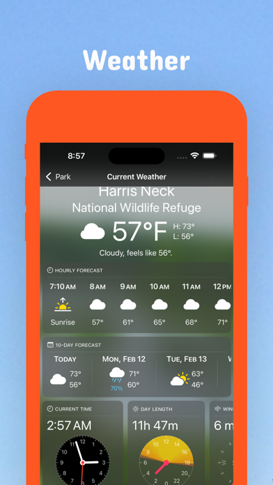
- Detailed national park information: alerts, news, visitor centers, campgrounds, driving directions, weather.
- Open your favorite maps app to get a route to the selected park.
- Current weather conditions, easy access to multi-day forecasts, sunrise and sunset times.
- Push notifications for park alerts, park news, weather warnings
So download maps and guides for:
- A. H. Stephens, Andersonville, Appalachian, Arabia Mountain, Augusta Canal
- Black Rock Mountain
- Chattahoochee Bend, Chattahoochee River, Chattahoochee-Oconee, Chickamauga & Chattanooga, Cloudland Canyon, Crooked Reiver, Cumberland Island
- Dames Ferry, Don Carter
- F.D. Roosevelt, Fort Frederica, Fort McAllister, Fort Mountain, Fort Pulaski, Fort Yargo
- General Coffee, George L. Smith, Gullah/Geechee
- Hard Labor Creek, Harris Neck, High Falls
- Jimmy Carter
- Kennesaw Mountain, Kolomoki Mounds
- Magnolia Springs, Martin Luther King, Jr., Mistletoe
- Ocmulgee Mounds, Okefenokee
- Panola Mountain, Piedmont, Providence Canyon
- Red Top Mountain, Reed Bingham, Richard B. Rusell
- Smithgall Woods, Sweetwater reek
- Tallulah Gorge, Trail of Tears
- Watson Mill Bridge
There are additional useful information and brochures for many Georgia state parks.
LEGAL
Terms of Use: https://icoat.de/pocketmaps/terms
Privacy Policy: https://icoat.de/pocketmaps/privacy