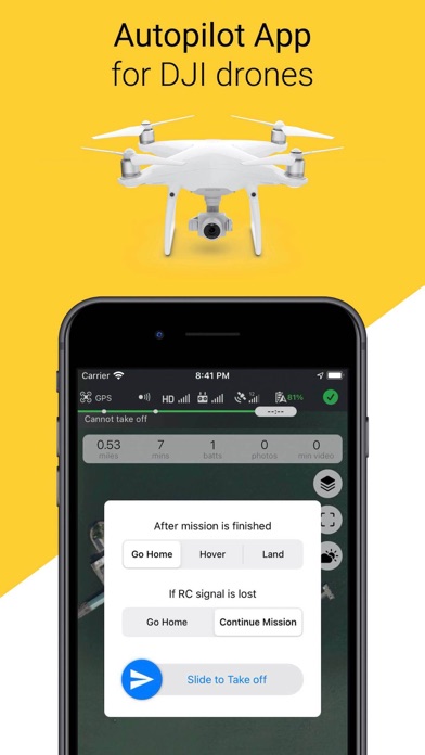
Autopilot flight app for DJI drones.
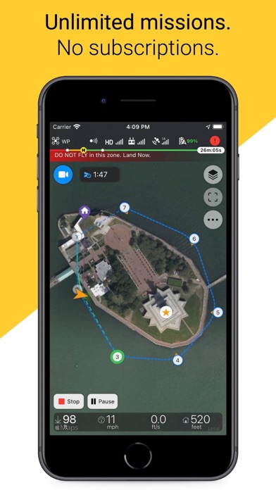
Plan and fly automated missions:
- Linear waypoints with in-point actions
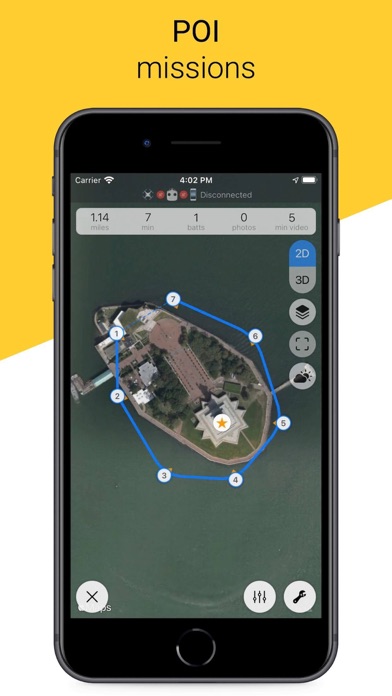
- Waypoints with auto heading to POI
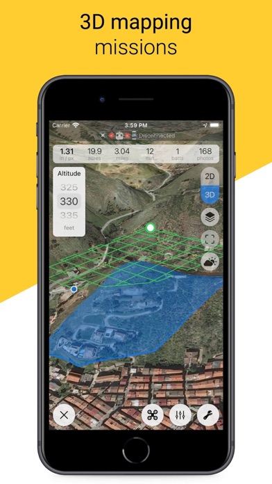
- Survey grid and double grid for area 2D/3D mapping
... more info below
Supports almost all DJI drones (see full list below). Mini 2 is not supported.
* Icing on the Сake *
- No ads
- No logins and signups
- No subscriptions
- No extra feature unlocks
- Unlimited missions to plan, save and fly
- Unlimited drones and batteries to save and monitor
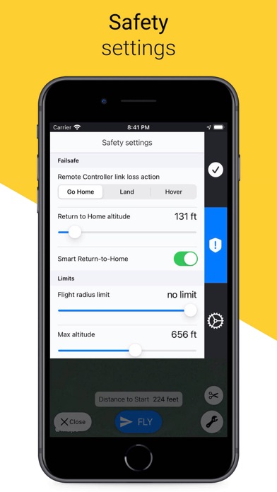
- Easy safety settings
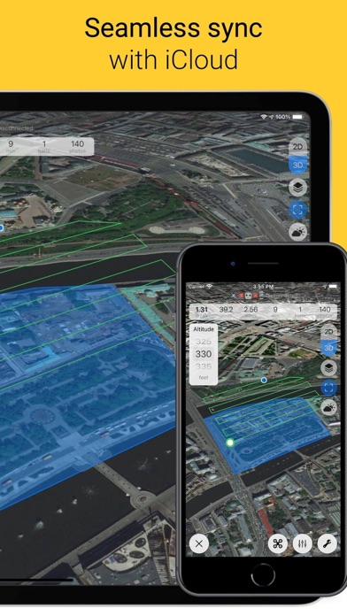
- Seamless data sync between all your iOS devices using iCloud
* Supported DJI Drones *
- Spark
- Mavic Mini 1
- Mini SE, Mini 2
- Mavic Air, Air 2, Air 2S
- Mavic Pro, 2 Pro, Zoom, Enterprise
- Phantom 4 Standard, Advanced, Pro, Pro V2, RTK, Multispectral
- Inspire V.1 (Pro, RAW), V.2
- Matrice 100, 200, 200 V2, 210, 210 V2, 210 RTK, 210 RTK V2, 300 RTK, 600, 600 Pro
- Flight controllers: A3, N3
- Agras with A3 controller
* Supported DJI Cameras *
DJI Zenmuse X3, X4 S, X5, X5 R, X5 S, X7, XT, XT S, XT2, Z3, Z30, H20, HT20
* IMPORTANT! *
Before takeoff, make sure your planned flight path is free of any obstacles. Especially if you fly a drone without/disabled vision system or at night.
What's inside:
* Area Mapping *
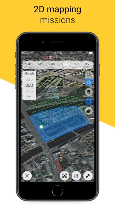
Survey missions for 2D orthophoto and 3D area reconstruction. Draw custom polygon, set altitude, tune front and side overlaps and you are ready to fly with just one tap.
Use Copterus app to capture aerial images. Then process them with your favorite photogrammetry software (Metashape Pro, WebODM, Pix4D, Drone Deploy, MapsMadeEasy, SimActive etc) to get orthomosaic maps, digital terrain and elevation models (DTM, DEM).
- Follow terrain feature
- Automatic flight planning based on camera parameters, overlaps and altitude
- Estimates for GSD, flight time, number of photos and batteries
- Multiple flights for massive areas
- Custom start/finish positions
- Pause mission and move backwards to retake some photos
- Automatic takeoff or start mission after manual takeoff
- Plan beforehand and try any DJI drone and camera to fit your mission
- Land, hover or return after flight
- Go Home on connection loss or continue mission (Spark, Mini and Air 2 do not support connectionless mode)
* Waypoints Mission *
For smooth and repeatable time-lapse videos and photos (even seasonal time-lapse), photo reports from the same exact positions, search and rescue operations, aerial monitoring and video surveillance.
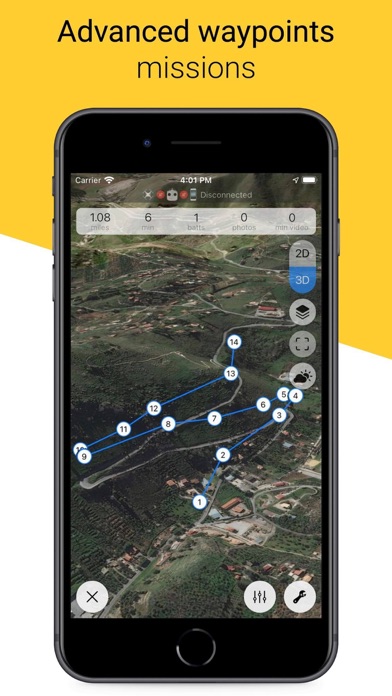
Tap desired locations to draw a flight path. Set common mission params, then tune points' altitude, heading, gimbal position and add some actions.
- In-point actions: wait, take photo, start/stop video, rotate aircraft (yaw), set gimbal angle. Up to 15 in each waypoint)
- Round-repeat waypoint actions up to 15 times
- Custom actions timeout
- Point-to-point or curved flight path with adjustable turn radius near each point
- Ability to control drone's speed with RC joystick during automated flight
- Set autospeed to 0 and move drone with RC joystick along its planned path - just like a cable camera
- Auto-repeat mission up to 15 times
- Go Home on connection loss or continue mission (Spark, Mini and Air 2 do not support this mode)
* POI Mission *
- Add point of interest (POI) to waypoint mission for auto heading
* KML Import *
- Create mapping or waypoint mission from KML polygon or line respectively
- One file can contain multiple KML features, choose one on import
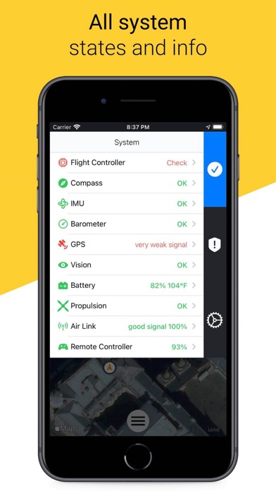
* Drones and Batteries Management *
- All system states and info, errors and warnings
- Batteries health info. Checked and saved on each connection, available anytime
- Multi-battery support
- Save your drones and batteries to track state
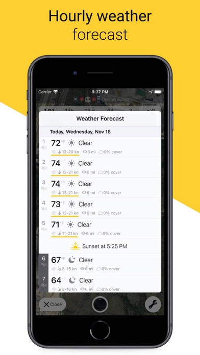
* Weather and Sun *
- Hourly weather forecast with wind warnings
- Sunrise and sunset time
Check Copterus app website for more info: copterus.app
Feel free to send your questions or requests:
support@copterus.app