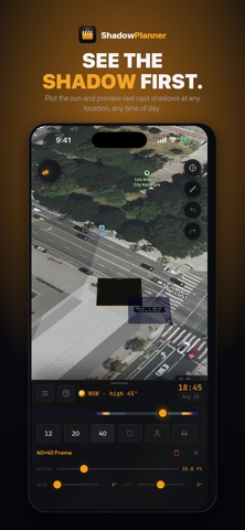
Shadow Planner puts a real sun on a real map. Drop your overheads on the actual
location, scrub the day from sunrise to sunset, and watch true cast shadows fall
across the ground in 3D — so you know what you're walking into before the truck
rolls and streamlining communication.
SCOUT ANY LOCATION
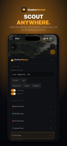
• Search an address or drop straight onto your GPS position
• Satellite, street and dark map styles
• Real 3D buildings and terrain, so shadows fall off the geometry that's
actually there
• Live sun compass with azimuth and altitude
BLOCK THE SHOT TO SCALE
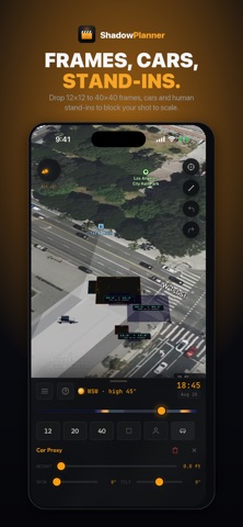
• Drop 12x12, 20x20 and 40x40 frames, or set your own custom size
• Dial height above ground, spin and tilt on every frame
• Add vehicles and human stand-ins for scale
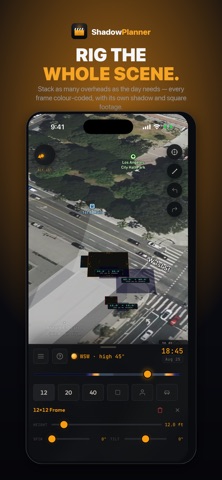
• Stack as many objects as the day needs — each one colour-coded, with its own
cast shadow and square footage
SEE THE WHOLE DAY MOVE
• Scrub sunrise to sunset and watch every shadow track with the sun
• Pick any date and check the light for a shoot weeks out
• Stand-ins and vehicles dim when they fall inside a frame's shadow
MEASURE THE RIG IN 3D
• Tap two points for a true diagonal distance — overhead down to ground
• Know exactly where the base, the truck and the crew gear have to land
• Measurements stay locked to a frame, so they update as you raise or move it
• Matching gear ranges for the distance you measured, from a PeeWee dolly to a
120' Condor
TAKE IT BACK TO THE OFFICE
• Export a snapshot to Photos, Files, Messages or anywhere else
• Share a link that carries your location, time and every frame — open it and
the whole scene rebuilds
• Full undo and redo
Built by a working cinematographer for tech scouts, gaffers, grips, DPs,
location managers and anyone who has ever guessed where the shadow would be.
No account. No subscription. No tracking.