The Sentres App is the perfect companion for hiking, cycling and other outdoor activities. With the app you can find and plan routes around the world with ease.
Latest vector maps provide accurate information about hiking and cycling trails, protected areas.
Global Trail Database:
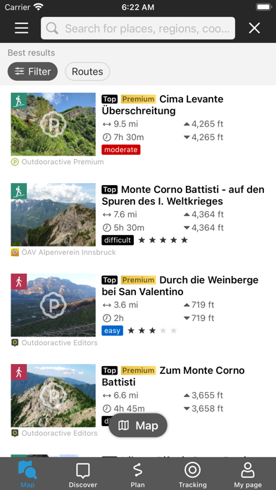
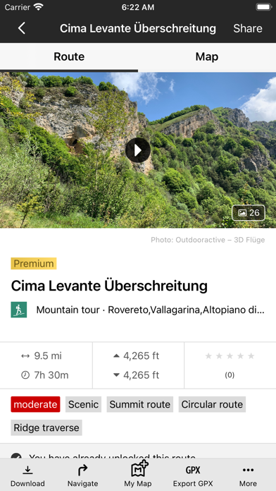
Browse through countless route suggestions for hiking, cycling and ski touring. All routes come with full details, elevation profiles, photos & directions.
Outdoor Route Planner:
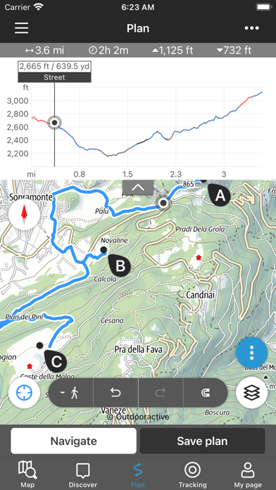
You can easily plan and create routes based on your preferences, add text and photos to these, publish them within the Community or share them privately with friends. You can also import and export GPX files as required.
Recording your own Tracks:
Record your own tracks to include duration, distance, altitudes and an interactive altitude profile. Data from your iPhone's motion sensors can help us give you even more accurate results.
Apple Watch:
Record a track or follow a route on your phone and see it on your watch. Pan and zoom maps.
Apple Health:
When you record a cycling, hiking, walking or running track you are able to save work outs to Apple Health. Data from HealthKit will not be used for marketing or promotional purposes.
Challenges:
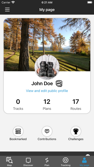
Challenges are a fun way to motivate yourself to be more active. Earn achievement badges, win prizes, and reach your goals by using the app to record your activities.
Navigation:
The navigation function with speech output lets you navigate comfortably from A to B on all routes.
BuddyBeacon:
Safety first: Share your real-time location with friends and family.
State-of-the-art map technology:
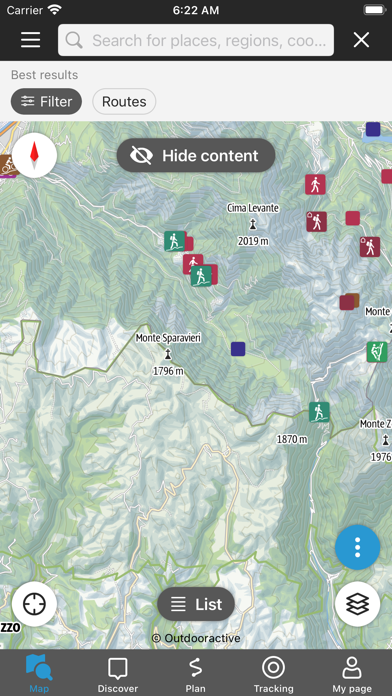
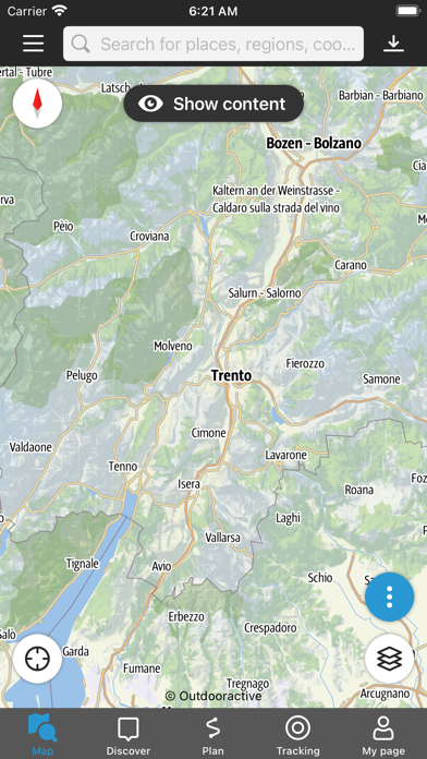
Enjoy a high-resolution display of all maps and at all zoom levels thanks to our state-of-the-art vector technology. Our digital summer and winter layers are based on OpenStreetMap and Pro and Pro+ members can also benefit from many other maps.
A Global Outdoor Travel Guide:
Helpful filters and our powerful search functions help you not only find routes, but also sights, accommodation, events and ski resorts.
A Large Directory of Mountain Huts:
Opening times, availability and prices as well as further information can all be found in our mountain hut directory. Created in partnership with the German Alpine Association (DAV), the Austrian Alpine Association (ÖAV) and the Alpine Association for South Tyrol (AVS).