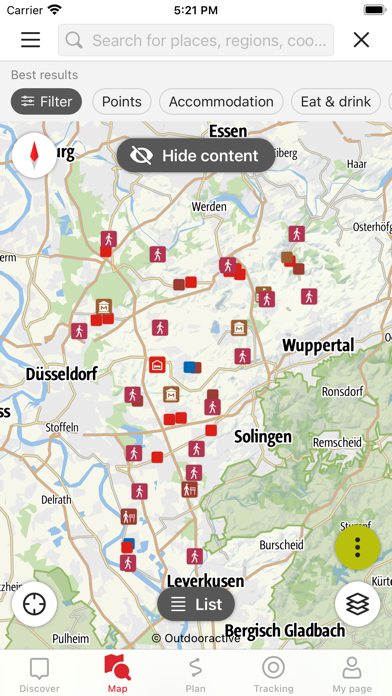
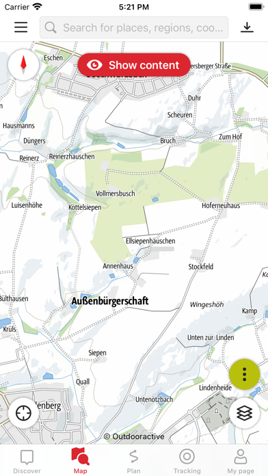
This app is the perfect companion and tour planner for your hike on the neanderland STEIG. It contains all the important information about the route, restaurants and sights.
The neanderland STEIG connects the natural beauty and sights of the neanderland on about 240 kilometres and is one of the most important cultural tourism hiking trails in Germany. The total of 17 stages lead through the Niederberg region to the Rhineland, pass through local recreation areas and offer a nature-oriented way to discover the district of Mettmann as a hiking and vacation region.
As circular trails branching off from the neanderland STEIG, the discovery loops complement the sights and natural beauty of the region. With lengths between 2-19 kilometres, these half-day and day tours invite you to take a leisurely stroll but also to actively relax.
Let yourself be guided interactively and multimedia-based along the neanderland STEIG and hike through the ten towns of the district of Mettmann.
All contents at a glance:
- Free download
- Total route of the neanderland STEIG
- Individual stages as well as outgoing circular hiking trails
- Numerous POI along the neanderland STEIG
- Accommodations and restaurants along the way
- Sights and activities in the surrounding area
- Tour planning with individual route calculation
- Offline use possible
It's that simple:
The app guides you individually along the neanderland STEIG and its discovery loops. Start your tour at any point or let yourself be inspired by the individual stages and circular trails. Using GPS, your smartphone navigates you along the selected route and shows you your own location on the map at all times. In addition, consistently selected accommodations, restaurants and sights in the immediate vicinity of the route are displayed.
In case of deficiencies and need for optimization, we would be pleased to receive your feedback by e-mail (info@neanderland.de).
Apple Health:
When you record a cycling, hiking, walking or running track you are able to save work outs to Apple Health. Data from HealthKit will not be used for marketing or promotional purposes.
Important notice:
Using the app in the background with GPS reception activated can drastically reduce the battery life of the used device.