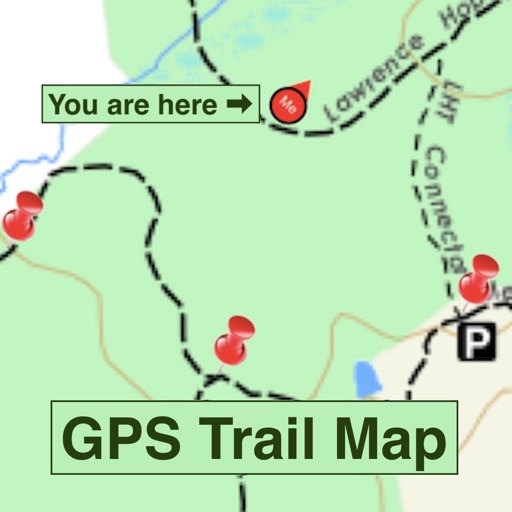
Turn any Trail Map into a "GPS Trail Map" and follow your location as you move anywhere on the map. A Trail Map is converted to a GPS Trail Map by adding at least two geo-location “pins” to the map as you walk the trail. Additional pins improve the accuracy of the GPS Trail Map and correct for any artistic ‘errors’ in the Trail Map.
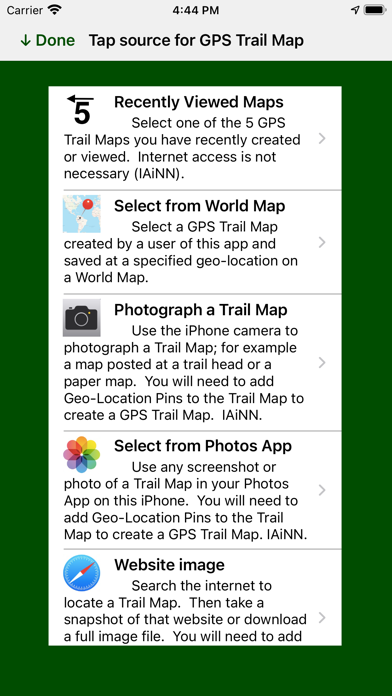
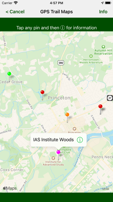
Trail Maps used to make a new GPS Trail Map can come from three sources: the iPhone camera, the Photo App and any website image or pdf. Once made, GPS Trail Maps can be saved on a World Map and become available to all users of the app. Expect to see more and more fully functional GPS Trail Maps on the World Map and available for your use.
The app requires an inexpensive Token to locate your position on a GPS Trail Map. A Token allows you to follow your location for 12 hours after it is used. The app comes with 5 free Tokens. Additional Tokens can be purchased in a package of 10 Tokens using an In App Purchase.
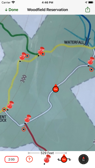
GPS Trail Map uses a least squares fit to position, orient and stretch the map onto GPS coordinates using geo-location pins placed on the map. It then projects your current GPS location onto that map favoring nearby pins with a 1/(r+∆)^3 weighting factor for each pin.
Screenshots:
1) GPS Trail Map showing your location and the pins used to position, orient and stretch the Trail Map photo
2) GPS Trail Map constructed from website pdf of Princeton University Campus map.
3) The methods of sourcing a GPS Trail Map
4) GPS Trail Maps stored on the World Map around Princeton, NJ (the home of the app developer).
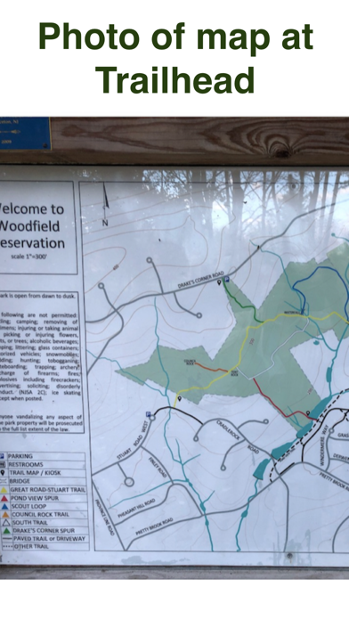
5) The Trailhead photo used to construct the GPS Trail Map in #1