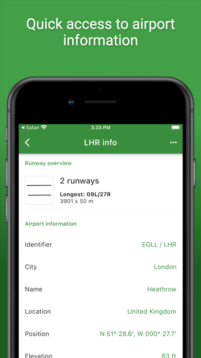
The airport directory for your flight bag, with NOTAM, SNOWTAM, METAR and TAF reports, Favorites, Tools, and the ability to save your own notes for those airports you visit frequently.
FEATURES:
- Optimized for both the iPad and the iPhone. Buy once and use on all your iOS devices!
- Airport database containing over 27000 airports world wide.
- Quick search system lets you find airports by city, name, ICAO, IATA or Local identifier.
- Add your own notes for those airports you visit frequently. Attach photos, PDF documents and many other file types to your notes and view them within the app.
- Document Packs facilitate dissemination of airport documents to crew members.
- Cloud Sync keeps your data synchronized between all your devices.
- Runway data (dimensions and surface type) for most major airports.
- Information about types of approaches available for most major airports.
- Favorites section where you can organize your favorite airports in groups.
- Airport data includes time zone, sunrise/sunset times and ATIS frequencies for most major airports.
- On the iPhone, directly call the ATIS telephone line for airports that provide this service.
- Online satellite images for most airports (requires internet connection).
- METAR and TAF reports (requires internet connection, service not available in Russia and Belarus). Downloaded weather is saved and kept for 48 hours for offline viewing.
- View NOTAMs for most major airports (requires internet connection, service not available in Russia and Belarus). Downloaded SNOWTAMs are detected and can be decoded with one tap. Coordinates in NOTAMs are automatically decoded and can be displayed on a map for increased situational awareness.
- Email and print METAR, TAF and NOTAMs.
- List of over 180 VOLMET stations world wide, with frequencies and list of airports broadcasted by each station.
- Easily share your notes and favorites.
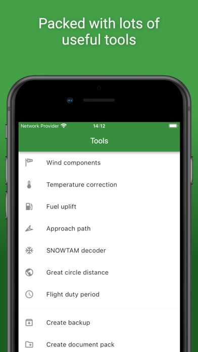
- Tools to calculate wind components, temperature correction, fuel uplift, approach check altitudes and great circle distances. There is also a SNOWTAM decoder and a flight duty period calculator to keep track of your estimated FDP during your duty day.
PLEASE NOTE:
This application is NOT FOR OPERATIONAL USE. Information in the airport database may be outdated and inaccurate. Please report all database errors so they can be corrected as soon as possible.
Please note that weather and NOTAM data are provided by third party sources whose accuracy and availability cannot be guaranteed. Do not rely on this data for flight planning purposes. Always crosscheck with official sources.