Performance · Worldwide
Est. downloads / month · WW
<5K
Below chart threshold
Est. revenue / month · WW
<$5K
Below chart threshold
Rating · WW
5.0★
1 ratings
Chart position
Apple's Top Paid chart — paid apps ranked by recent downloads.
Ratings count — US
Listing
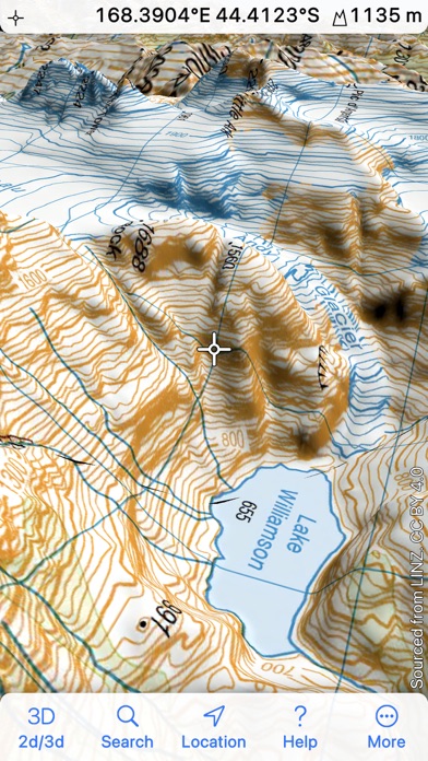
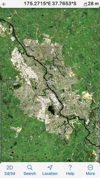
Topographic maps and satellite imagery from Land Information New Zealand in 2D and 3D. 1:250,000 maps and imagery are built in; download the 1:50,000 maps that you need. No network connection needed once maps are installed. Record your track, and share GPX files with other apps and devices. Hybrid map mode combines topo with imagery. Panorama mode shows silhouette of what's visible from anywhere on the map. Draw routes on the map; plot graphs of speed and altitude. "Fly" along routes in 3D
#62latest · best #62 in 90d